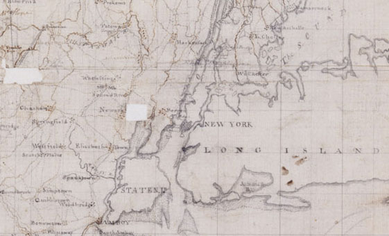
The art and science of mapmaking reached new heights of sophistication by the last quarter of the eighteenth century. The maps presented here were all prepared by Robert Erskine and Simeon DeWitt at the order of George Washington. Robert Erskine was born in Scotland and trained as a surveyor and civil engineer before emigrating to New York in June 1771. In the summer of 1775 Erskine was commissioned as a captain in the Bergen County Militia, but in July of 1777 his skills as an engineer and familiarity with the terrain of New Jersey and the Hudson won him the post of Surveyor-General to the Continental Army. Simeon DeWitt was born in Wawarsing in Ulster County, New York and took a degree from Queen's College (now Rutgers) in New Jersey. DeWitt served as a private in the Continental Army before he was appointed as assistant to Robert Erskine in 1778. When Erskine died on October 2, 1780, DeWitt took over as Surveyor-General; he later served as Surveyor-General for New York State until his death in 1834.
Robert Erskine described the area covered by these maps in a letter to George Washington:
"both sides of the North [Hudson] River, extending from New Windsor and Fishkill, southerly to New York; eastward: to Hartford, Whitehaven, etc., and on the west to Easton in Pennsylvania… the principal part of New Jersey, lying northward of a line drawn from Sandy Hook to Philadelphia… a considerable part of Pennsylvania…the whole route of the Western army under Genl. Sullivan… from New Windsor and Fishkill northward, on both sides of the River, to Albany, & from thence to Soharie."
(Quoted in George Washington's Map Maker by Albert Henry Heusser, p. 209)
view this document in the archives